Tesla Developing In-House Mapping System for FSD
The automaker is shifting away from third-party data to build a proprietary map layer that aims to resolve persistent errors in speed limit detection and route selection.
By Jisoo Serrano ·
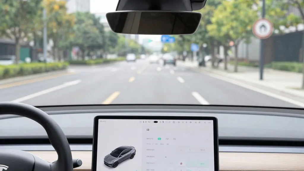
Tesla is currently developing its own mapping technology to address significant flaws in its Full Self-Driving system. The company aims to use this new infrastructure to improve how vehicles interpret speed limits, execute parking maneuvers, and select travel routes. This strategic move was detailed by Tesla’s Vice President of AI, Ashok Elluswamy, during the company’s third-quarter 2026 earnings call.
The decision marks a distinct departure from previous corporate messaging. For years, Tesla’s CEO argued that self-driving systems reliant on detailed maps were overly fragile. By building its own data layer, Tesla’s fleet is now performing a function similar to that of Waymo’s vehicles. Both companies are using their fleets to map roads and identify information that their autonomous systems cannot reliably determine through vision alone.
The initiative was prompted by direct feedback from shareholders. During a question and answer session, a retail investor noted that mapping issues remained a major pain point for FSD users. The investor specifically cited speed limits, parking, and typical routes as the three most common problems. They asked why the company continued to rely on external data providers rather than creating an internal solution. Elluswamy agreed that Tesla should not depend on maps created by other companies.
Elluswamy explained that Tesla is constructing a new AI-based architecture for mapping and navigation. This system will be fed by collective data from the fleet and will also learn individual driver preferences. It is designed to respond to voice commands and handle specific trip segments. The technology is scheduled to begin managing the start and end of trips with the release of FSD version 15. Over the coming months, it will expand to take over full navigation, parking, and destination handling.
This approach contrasts with Tesla’s historical stance on autonomous driving. When Autopilot launched in 2015, the company stated it was building high-precision maps with significantly more granularity than standard navigation tools. However, during its 2019 Autonomy Day, Elon Musk declared that relying on high-precision lane maps was a huge mistake. He described such reliance as a bad idea that made systems extremely brittle, a view he held while also criticizing the use of lidar.
While this new map is not the high-definition type Musk previously criticized, it addresses fundamental environmental understanding. FSD still frequently struggles with basic road information, particularly speed limit signs. A Belgian road safety group recently found that FSD exceeded speed limits in 55% of the 30 km/h zones tested in Brussels. The average speed recorded was 44 km/h, often because the vehicle’s display incorrectly showed a 50 km/h limit. In the United States, the National Highway Traffic Safety Administration is considering an investigation into claims that Tesla Robotaxis speed through active school zones.
The new system brings Tesla’s methodology closer to that of its competitors. Waymo maps cities by driving sensor-equipped vehicles through them before launching service and keeps those maps updated as the fleet operates. Tesla is now describing a similar process where cars collect visual data that feeds into a proprietary map. The primary hardware difference remains that Waymo vehicles are equipped with lidar. This fleet-based mapping also aligns with Tesla’s current Robotaxi operations, which run in specific geofenced areas with direct fleet management.
The shift suggests that a map built from millions of vehicles could provide a competitive advantage. If the new system successfully resolves speed limit errors, it will improve safety for all road users. Tesla has previously delayed the rollout of unsupervised FSD to customer cars, targeting the second quarter of 2027. The company continues to refine its approach as it balances its vision-based model with the practical necessity of accurate environmental data.
Source: Electrek · original report published